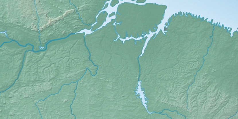
Serra do Tapará, (upland) is located in Pará, in Brazil (America). It is placed in GMT-4 time zone with current time of 11:15 AM, Thursday. Offset from your time zone: minutes.
| Latitude | 

|
|
| decimal | -2.75 | |
| DMS | 2° 45' 0" S | |
| Distances from | ||
| North pole | 10312.8 km | |
| Equator | 305.8 km | |
| South pole | 9701.3 km | |
| Longitude | 
|
|
| decimal | -52.25 | |
| DMS | 52° 15' 0" W | |
| Distance from prime meridian: 5802.5 km to West |
||
List of nearest places sort by population
Santarém 275.2 km 277°
277° 174°
174° 58°
58° 292°60°
 344°
344° 0°
0° 307°
307° 24°61°

Marker is showing location of Serra do Tapará on map(s). You can click on marker if you want to hide it.
 T: 0.01047 s.
2026 © Location.zone | Terms of use | Contact
 156°
156° 126°
126° 94°
94° 154°
154° 267°
267° 107°
107° 70°
70° 209°
209° 39°
39° 45°
45° 257°
257°