Serra do Taquari, (upland) is located in Mato Grosso do Sul, in Brazil (America). It is placed in GMT-4 time zone with current time of 10:46 AM, Thursday. Offset from your time zone: minutes.
| Latitude | 

|
|
| decimal | -18.25869 | |
| DMS | 18° 15' 31.284" S | |
| Distances from | ||
| North pole | 12037.2 km | |
| Equator | 2030.2 km | |
| South pole | 7976.9 km | |
| Longitude | 
|
|
| decimal | -53.62023 | |
| DMS | 53° 37' 12.828" W | |
| Distance from prime meridian: 5639.8 km to West |
||
List of nearest places sort by population
Jataí 205.1 km 78°
78° 55°
55° 257°
257° 115°
115° 240°
240° 197°
197° 355°
355° 22°
22° 142°
142° 44°
44°

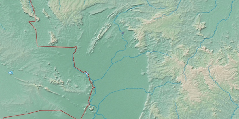
Marker is showing location of Serra do Taquari on map(s). You can click on marker if you want to hide it.
 T: 0.01041 s.
2026 © Location.zone | Terms of use | Contact
 129°
129° 70°
70° 45°
45° 100°
100° 150°
150° 337°
337° 225°
225° 34°
34° 288°
288°