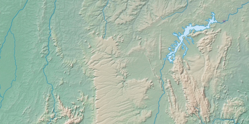
Serra Jalapão, (upland) is located in Tocantins, in Brazil (America). It is placed in GMT-3 time zone with current time of 06:36 AM, Thursday. Offset from your time zone: minutes.
| Latitude | 

|
|
| decimal | -10.36622 | |
| DMS | 10° 21' 58.392" S | |
| Distances from | ||
| North pole | 11159.7 km | |
| Equator | 1152.6 km | |
| South pole | 8854.4 km | |
| Longitude | 
|
|
| decimal | -47.06795 | |
| DMS | 47° 4' 4.62" W | |
| Distance from prime meridian: 5143 km to West |
||
List of nearest places sort by population
Palmas 139.6 km 279°
279° 131°
131° 235°
235° 356°
356° 173°
173° 110°
110° 163°
163° 123°
123° 72°
72° 39°
39°

Marker is showing location of Serra Jalapão on map(s). You can click on marker if you want to hide it.
 T: 0.01085 s.
2026 © Location.zone | Terms of use | Contact
 178°
178° 51°
51° 188°
188° 299°
299° 79°
79° 350°
350° 223°
223° 33°
33° 261°
261° 285°
285°