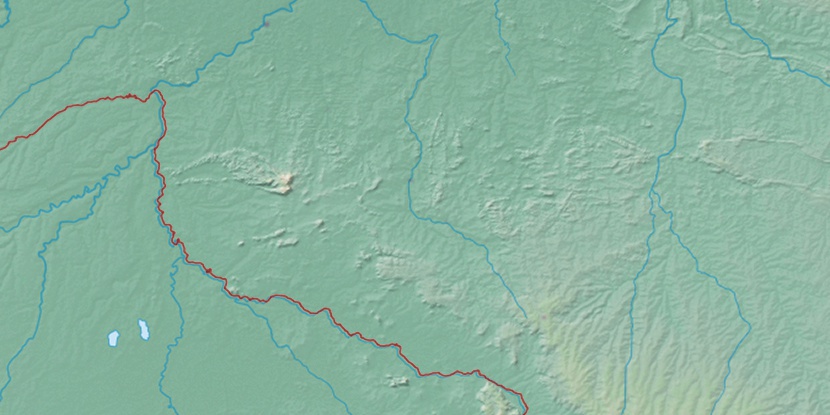
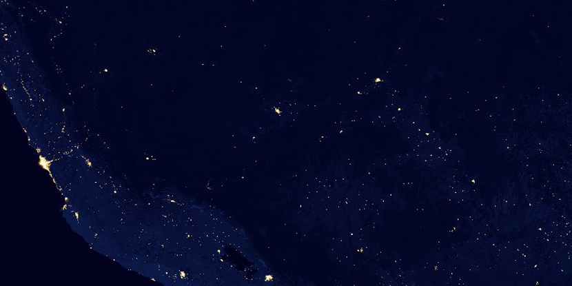
Serra Pires dos Campos, (upland) is located in Rondônia, in Brazil (America). It is placed in GMT-4 time zone with current time of 05:37 AM, Thursday. Offset from your time zone: minutes.
| Latitude | 

|
|
| decimal | -11.7 | |
| DMS | 11° 42' 0" S | |
| Distances from | ||
| North pole | 11308 km | |
| Equator | 1300.9 km | |
| South pole | 8706.1 km | |
| Longitude | 
|
|
| decimal | -63.36667 | |
| DMS | 63° 22' 0.012" W | |
| Distance from prime meridian: 6883 km to West |
||
List of nearest places sort by population
Porto Velho 331.9 km 349°
349° 59°
59° 10°
10° 82°
82° 142°
142° 295°
295° 35°
35° 49°
49° 89°
89° 69°
69°

Marker is showing location of Serra Pires dos Campos on map(s). You can click on marker if you want to hide it.
 T: 0.01052 s.
2026 © Location.zone | Terms of use | Contact
 126°
126° 120°
120° 113°
113° 21°
21° 197°
197° 260°
260° 287°
287°