Serra Preta, (upland) is located in Tocantins, in Brazil (America). It is placed in GMT-3 time zone with current time of 09:44 AM, Thursday. Offset from your time zone: minutes.
| Latitude | 

|
|
| decimal | -7.68333 | |
| DMS | 7° 40' 59.988" S | |
| Distances from | ||
| North pole | 10861.4 km | |
| Equator | 854.3 km | |
| South pole | 9152.8 km | |
| Longitude | 
|
|
| decimal | -47.5 | |
| DMS | 47° 30' 0" W | |
| Distance from prime meridian: 5231.2 km to West |
||
List of nearest places sort by population
Araguaína 95.3 km 305°
305° 84°
84° 251°81°
 6°
6° 4°
4° 320°
320° 69°
69° 56°13°

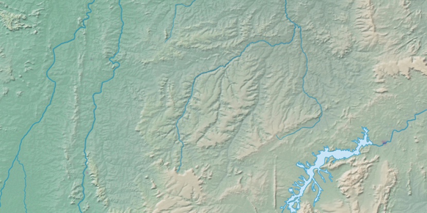
Marker is showing location of Serra Preta on map(s). You can click on marker if you want to hide it.
 T: 0.01031 s.
2026 © Location.zone | Terms of use | Contact
 177°
177° 164°
164° 120°
120° 185°
185° 290°
290° 91°
91° 350°
350° 219°
219° 34°
34° 41°
41° 48°
48° 260°
260° 284°
284°