Serra Santa Bárbara, (upland) is located in Mato Grosso do Sul, in Brazil (America). It is placed in GMT-4 time zone with current time of 10:46 AM, Thursday. Offset from your time zone: minutes.
| Latitude | 

|
|
| decimal | -20.25 | |
| DMS | 20° 15' 0" S | |
| Distances from | ||
| North pole | 12258.7 km | |
| Equator | 2251.6 km | |
| South pole | 7755.5 km | |
| Longitude | 
|
|
| decimal | -55.58333 | |
| DMS | 55° 34' 59.988" W | |
| Distance from prime meridian: 5768.6 km to West |
||
List of nearest places sort by population
Campo Grande 100 km 102°
102° 220°
220° 202°96°221°
 139°223°
 270°202°
 105°
105°

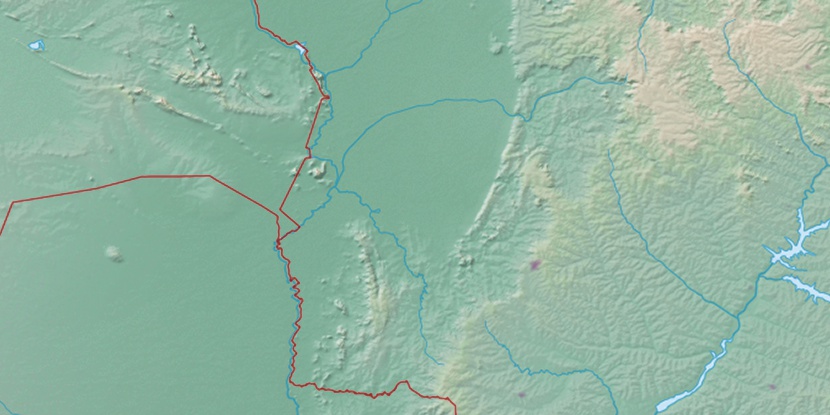
Marker is showing location of Serra Santa Bárbara on map(s). You can click on marker if you want to hide it.
 T: 0.01053 s.
2026 © Location.zone | Terms of use | Contact
 65°
65° 45°
45° 88°
88° 58°
58° 131°
131° 345°
345° 20°
20° 225°
225° 34°
34° 39°
39° 264°
264° 289°
289°