Serra São Lourenço, (upland) is located in Minas Gerais, in Brazil (America). It is placed in GMT-3 time zone with current time of 02:04 PM, Thursday. Offset from your time zone: minutes.
| Latitude | 

|
|
| decimal | -19.15 | |
| DMS | 19° 9' 0" S | |
| Distances from | ||
| North pole | 12136.3 km | |
| Equator | 2129.3 km | |
| South pole | 7877.8 km | |
| Longitude | 
|
|
| decimal | -49.31667 | |
| DMS | 49° 19' 0.012" W | |
| Distance from prime meridian: 5161.7 km to West |
||
List of nearest places sort by population
Ituiutaba 24.8 km 321°
321° 7°
7° 46°
46° 112°
112° 202°
202° 332°
332° 55°
55° 292°202°11°

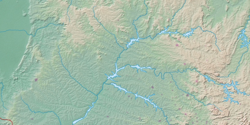
Marker is showing location of Serra São Lourenço on map(s). You can click on marker if you want to hide it.
 T: 0.01044 s.
2026 © Location.zone | Terms of use | Contact
 150°
150° 123°
123° 34°
34° 98°
98° 21°
21° 179°
179° 2°
2° 233°
233° 37°
37° 264°
264°