Attawapiskat Airport, (airport) is located in Ontario, in Canada (America). It is placed in GMT-4 time zone with current time of 11:34 PM, Sunday. Offset from your time zone: minutes.
| Latitude | 

|
|
| decimal | 52.9275 | |
| DMS | 52° 55' 39" N | |
| Distances from | ||
| North pole | 4122.1 km | |
| Equator | 5885 km | |
| South pole | 15892 km | |
| Longitude | 
|
|
| decimal | -82.4319 | |
| DMS | 82° 25' 54.84" W | |
| Distance from prime meridian: 5204.4 km to West |
||
List of nearest places sort by population
Timmins 502 km 171°
171° 180°
180° 153°
153° 193°
193° 211°165°
 222°
222° 136°152°
 201°
201°

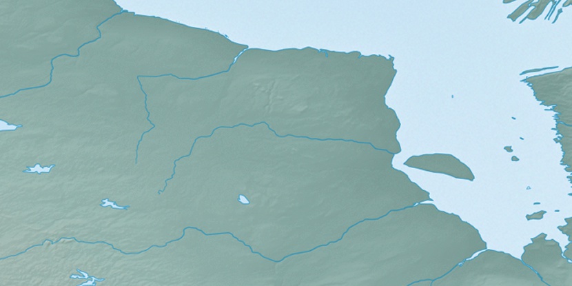
Marker is showing location of Attawapiskat Airport on map(s). You can click on marker if you want to hide it.
 T: 0.00626 s.
2026 © Location.zone | Terms of use | Contact
 264°
264° 271°
271° 251°
251° 91°
91° 232°
232°