Diavik Airport, (airport) is located in Northwest Territories, in Canada (America). It is placed in GMT-6 time zone with current time of 05:46 AM, Thursday. Offset from your time zone: minutes.
| Latitude | 

|
|
| decimal | 64.51 | |
| DMS | 64° 30' 36" N | |
| Distances from | ||
| North pole | 2834.2 km | |
| Equator | 7172.8 km | |
| South pole | 17179.9 km | |
| Longitude | 
|
|
| decimal | -110.3 | |
| DMS | 110° 18' 0" W | |
| Distance from prime meridian: 4599.1 km to West |
||
List of nearest places sort by population
Fort McMurray 867.4 km 183°
183° 221°
221° 225°
225° 208°214°
 189°205°
 329°
329° 54°
54° 276°
276°

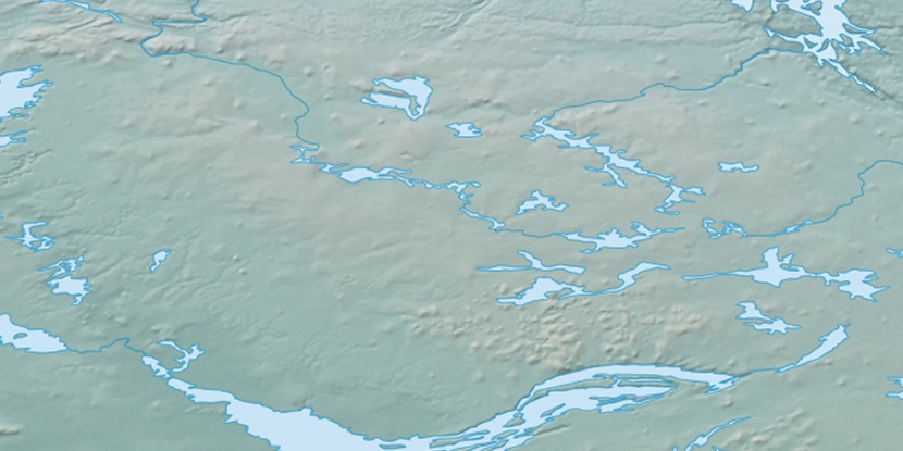
Marker is showing location of Diavik Airport on map(s). You can click on marker if you want to hide it.
 T: 0.00552 s.
2026 © Location.zone | Terms of use | Contact
 139°
139° 132°
132° 154°
154° 204°
204° 102°
102° 246°
246° 161°
161°