Ekati Airport, (airport) is located in Northwest Territories, in Canada (America). It is placed in GMT-6 time zone with current time of 07:31 AM, Friday. Offset from your time zone: minutes.
| Latitude | 

|
|
| decimal | 64.69914 | |
| DMS | 64° 41' 56.904" N | |
| Distances from | ||
| North pole | 2813.2 km | |
| Equator | 7193.9 km | |
| South pole | 17200.9 km | |
| Longitude | 
|
|
| decimal | -110.61434 | |
| DMS | 110° 36' 51.624" W | |
| Distance from prime meridian: 4574.9 km to West |
||
List of nearest places sort by population
Fort McMurray 887.4 km 182°
182° 216°224°
 206°211°
 187°
187° 203°
203° 330°
330° 56°
56° 274°
274°

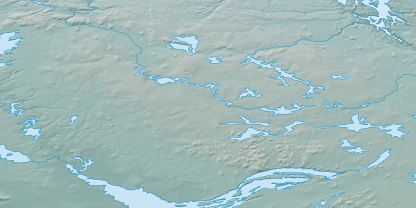
Marker is showing location of Ekati Airport on map(s). You can click on marker if you want to hide it.
 T: 0.00584 s.
2026 © Location.zone | Terms of use | Contact
 139°
139° 132°
132° 154°
154° 102°
102° 246°
246° 161°
161°