Hay River/Merlyn Carter Airport, (airport) is located in Northwest Territories, in Canada (America). It is placed in GMT-6 time zone with current time of 09:16 PM, Tuesday. Offset from your time zone: minutes.
| Latitude | 

|
|
| decimal | 60.83972 | |
| DMS | 60° 50' 22.992" N | |
| Distances from | ||
| North pole | 3242.3 km | |
| Equator | 6764.7 km | |
| South pole | 16771.8 km | |
| Longitude | 
|
|
| decimal | -115.78278 | |
| DMS | 115° 46' 58.008" W | |
| Distance from prime meridian: 5420.7 km to West |
||
List of nearest places sort by population
Fort McMurray 522.7 km 151°
151° 22°
22° 189°
189° 239°
239° 196°199°195°191°
 113°193°

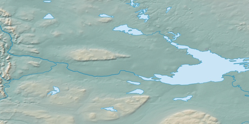
Marker is showing location of Hay River/Merlyn Carter Airport on map(s). You can click on marker if you want to hide it.
 T: 0.00568 s.
2026 © Location.zone | Terms of use | Contact
 128°
128° 121°
121° 174°
174° 136°
136° 98°
98° 93°
93° 249°
249° 158°
158° 219°
219°