Paulatuk (Nora Aliqatchialuk Ruben) Airport, (airport) is located in Northwest Territories, in Canada (America). It is placed in GMT-6 time zone with current time of 09:24 AM, Wednesday. Offset from your time zone: minutes.
| Latitude | 

|
|
| decimal | 69.36169 | |
| DMS | 69° 21' 42.084" N | |
| Distances from | ||
| North pole | 2294.8 km | |
| Equator | 7712.3 km | |
| South pole | 17719.4 km | |
| Longitude | 
|
|
| decimal | -124.07487 | |
| DMS | 124° 4' 29.532" W | |
| Distance from prime meridian: 4033.7 km to West |
||
List of nearest places sort by population
Whitehorse 1086.9 km 207°
207° 150°
150° 158°
158° 253°
253° 191°
191° 228°
228° 115°213°
 244°194°

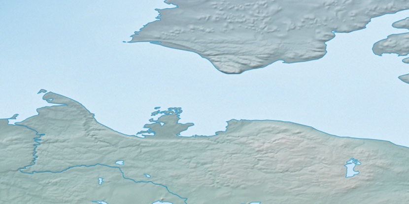
Marker is showing location of Paulatuk (Nora Aliqatchialuk Ruben) Airport on map(s). You can click on marker if you want to hide it.
 T: 0.0057 s.
2026 © Location.zone | Terms of use | Contact
 137°
137° 132°
132° 165°
165° 178°
178° 106°
106° 100°
100°