Lupin Airport (historical), (abandoned airfield) is located in Nunavut, in Canada (America). It is placed in GMT-6 time zone with current time of 04:47 PM, Tuesday. Offset from your time zone: minutes.
| Latitude | 

|
|
| decimal | 65.75795 | |
| DMS | 65° 45' 28.62" N | |
| Distances from | ||
| North pole | 2695.5 km | |
| Equator | 7311.6 km | |
| South pole | 17318.7 km | |
| Longitude | 
|
|
| decimal | -111.24988 | |
| DMS | 111° 14' 59.568" W | |
| Distance from prime meridian: 4405.1 km to West |
||
List of nearest places sort by population
Fort McMurray 1004.2 km 180°
180° 202°
202° 217°200°202°182°
 109°
109° 323°
323° 64°
64° 265°
265°

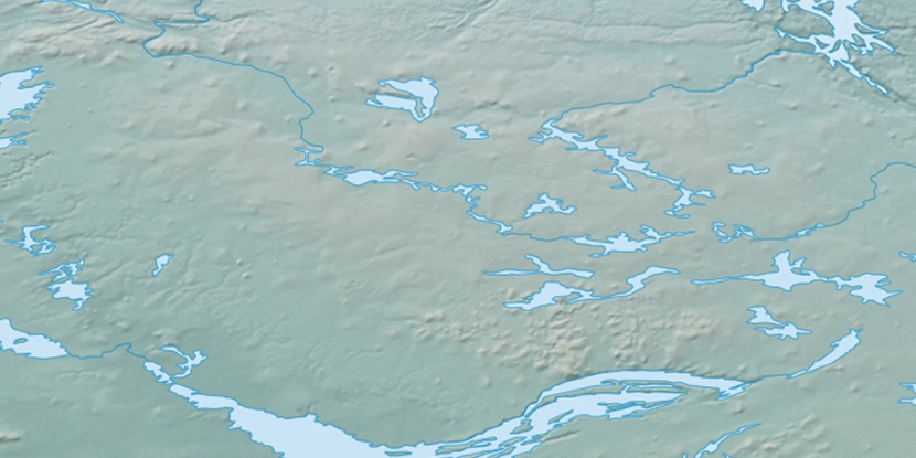
Marker is showing location of Lupin Airport (historical) on map(s). You can click on marker if you want to hide it.
 T: 0.00459 s.
2026 © Location.zone | Terms of use | Contact
 141°
141° 134°
134° 185°
185° 155°
155° 104°
104° 245°
245°