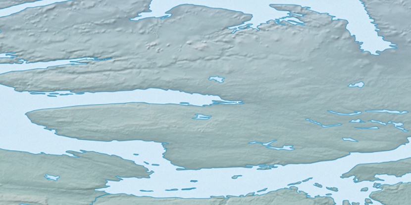
Clouston Bay, (bay) is located in Nunavut, in Canada (America). It is placed in GMT-6 time zone with current time of 09:00 AM, Sunday. Offset from your time zone: minutes.
| Latitude | 

|
|
| decimal | 69.04954 | |
| DMS | 69° 2' 58.344" N | |
| Distances from | ||
| North pole | 2329.5 km | |
| Equator | 7677.6 km | |
| South pole | 17684.7 km | |
| Longitude | 
|
|
| decimal | -113.59005 | |
| DMS | 113° 35' 24.18" W | |
| Distance from prime meridian: 3871.2 km to West |
||
List of nearest places sort by population
Yellowknife 734.2 km 182°
182° 188°186°
 264°175°
 125°
125° 204°
204° 93°258°
 233°
233°

Marker is showing location of Clouston Bay on map(s). You can click on marker if you want to hide it.
 T: 0.03238 s.
2026 © Location.zone | Terms of use | Contact
 144°
144° 157°
157° 107°
107° 100°
100° 241°
241° 215°
215°