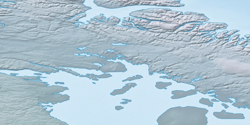
Tremblay Bay, (bay) is located in Nunavut, in Canada (America). It is placed in GMT-4 time zone with current time of 07:46 AM, Sunday. Offset from your time zone: minutes.
| Latitude | 

|
|
| decimal | 69.48436 | |
| DMS | 69° 29' 3.696" N | |
| Distances from | ||
| North pole | 2281.1 km | |
| Equator | 7725.9 km | |
| South pole | 17733 km | |
| Longitude | 
|
|
| decimal | -78.64823 | |
| DMS | 78° 38' 53.628" W | |
| Distance from prime meridian: 2853.5 km to West |
||
List of nearest places sort by population
Yellowknife 1762.2 km 244°
244° 212°
212° 145°240°235°
 218°
218° 124°
124° 262°262°
 74°
74°

Marker is showing location of Tremblay Bay on map(s). You can click on marker if you want to hide it.
 T: 0.03248 s.
2026 © Location.zone | Terms of use | Contact
 180°
180° 173°
173° 225°
225° 204°
204° 111°
111° 104°
104° 247°
247°