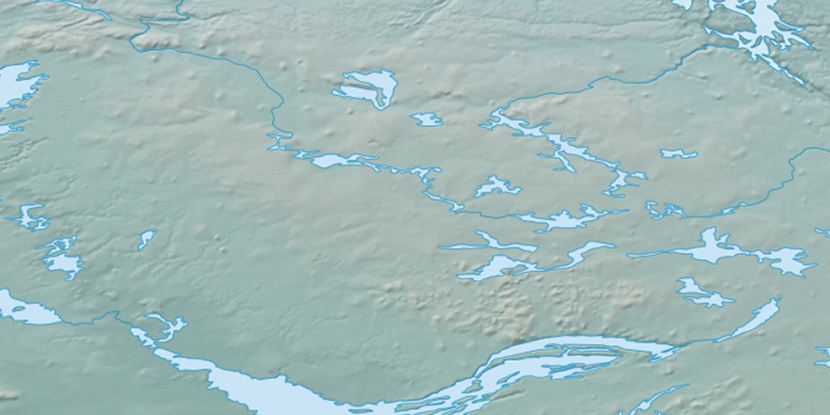
Warburton Bay, (bay) is located in Northwest Territories, in Canada (America). It is placed in GMT-6 time zone with current time of 02:56 PM, Monday. Offset from your time zone: minutes.
| Latitude | 

|
|
| decimal | 63.83382 | |
| DMS | 63° 50' 1.752" N | |
| Distances from | ||
| North pole | 2909.4 km | |
| Equator | 7097.7 km | |
| South pole | 17104.7 km | |
| Longitude | 
|
|
| decimal | -111.50232 | |
| DMS | 111° 30' 8.352" W | |
| Distance from prime meridian: 4753.9 km to West |
||
List of nearest places sort by population
Fort McMurray 790.3 km 179°
179° 223°
223° 200°
200° 226°
226° 206°213°182°203°
 339°
339° 282°
282°

Marker is showing location of Warburton Bay on map(s). You can click on marker if you want to hide it.
 T: 0.03202 s.
2026 © Location.zone | Terms of use | Contact
 137°
137° 130°
130° 186°
186° 150°
150° 101°
101° 247°
247° 161°
161°