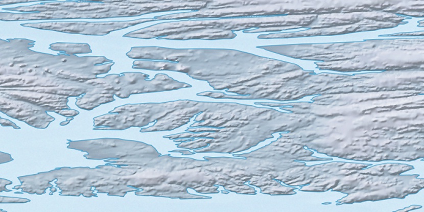
Blue Man Cape, (cape) is located in Nunavut, in Canada (America). It is placed in GMT-5 time zone with current time of 04:53 AM, Sunday. Offset from your time zone: minutes.
| Latitude | 

|
|
| decimal | 79.75202 | |
| DMS | 79° 45' 7.272" N | |
| Distances from | ||
| North pole | 1139.5 km | |
| Equator | 8867.6 km | |
| South pole | 18874.7 km | |
| Longitude | 
|
|
| decimal | -86.33273 | |
| DMS | 86° 19' 57.828" W | |
| Distance from prime meridian: 1554.6 km to West |
||
List of nearest places sort by population
Yellowknife 2120.5 km 205°
205° 161°
161° 227°
227° 185°157°212°192°226°
 218°
218° 154°
154°

Marker is showing location of Blue Man Cape on map(s). You can click on marker if you want to hide it.
 T: 0.00831 s.
2026 © Location.zone | Terms of use | Contact
 175°
175° 171°
171° 199°
199° 132°
132° 119°
119°