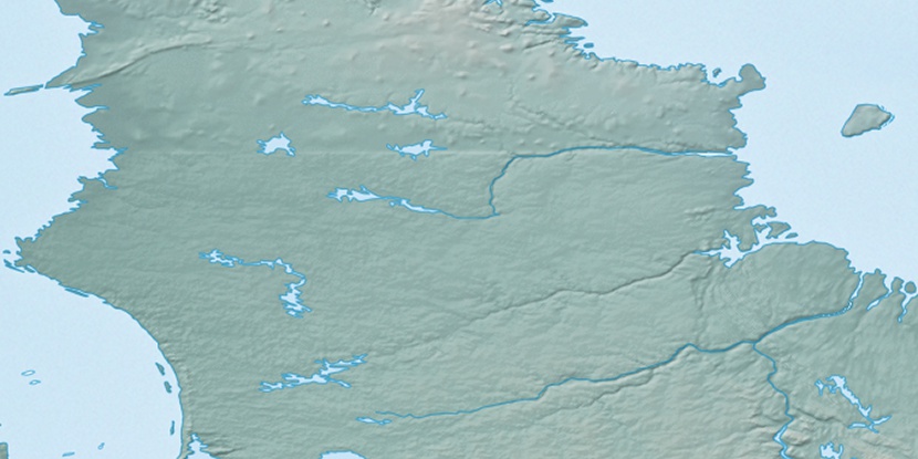
Cap Kukivvaluk, (cape) is located in Quebec, in Canada (America). It is placed in GMT-4 time zone with current time of 11:32 PM, Saturday. Offset from your time zone: minutes.
| Latitude | 

|
|
| decimal | 60.06717 | |
| DMS | 60° 4' 1.812" N | |
| Distances from | ||
| North pole | 3328.2 km | |
| Equator | 6678.8 km | |
| South pole | 16685.9 km | |
| Longitude | 
|
|
| decimal | -71.31528 | |
| DMS | 71° 18' 55.008" W | |
| Distance from prime meridian: 3760.6 km to West |
||
List of nearest places sort by population
Sept-Îles 1140.3 km 164°161°
 138°
138° 189°
189° 19°
19° 165°162°191°22°163°

Marker is showing location of Cap Kukivvaluk on map(s). You can click on marker if you want to hide it.
 T: 0.00844 s.
2026 © Location.zone | Terms of use | Contact
 196°
196° 249°
249° 235°
235° 102°
102° 94°
94° 255°
255° 179°
179° 230°
230°