Cap Umiannguaq, (cape) is located in Quebec, in Canada (America). It is placed in GMT-4 time zone with current time of 10:20 PM, Wednesday. Offset from your time zone: minutes.
| Latitude | 

|
|
| decimal | 60.08376 | |
| DMS | 60° 5' 1.536" N | |
| Distances from | ||
| North pole | 3326.4 km | |
| Equator | 6680.7 km | |
| South pole | 16687.7 km | |
| Longitude | 
|
|
| decimal | -71.01526 | |
| DMS | 71° 0' 54.936" W | |
| Distance from prime meridian: 3744.5 km to West |
||
List of nearest places sort by population
Sept-Îles 1137 km 165°
165° 162°
162° 139°
139° 190°
190° 17°166°163°21°164°
 5°
5°

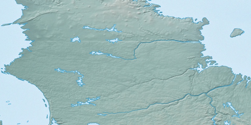
Marker is showing location of Cap Umiannguaq on map(s). You can click on marker if you want to hide it.
 T: 0.00837 s.
2026 © Location.zone | Terms of use | Contact
 197°
197° 249°
249° 235°
235° 102°
102° 94°
94° 255°
255° 179°
179° 230°
230°