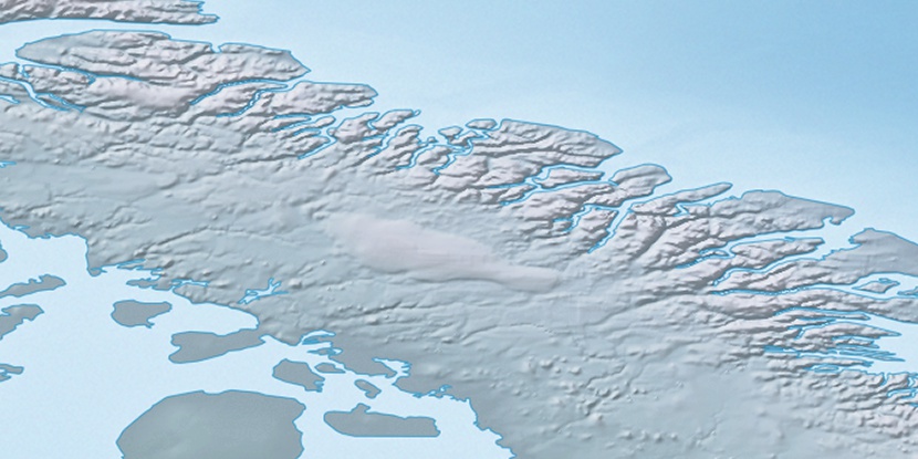
Cape Adair, (cape) is located in Nunavut, in Canada (America). It is placed in GMT-4 time zone with current time of 12:08 PM, Saturday. Offset from your time zone: minutes.
| Latitude | 

|
|
| decimal | 71.49556 | |
| DMS | 71° 29' 44.016" N | |
| Distances from | ||
| North pole | 2057.5 km | |
| Equator | 7949.6 km | |
| South pole | 17956.6 km | |
| Longitude | 
|
|
| decimal | -71.56418 | |
| DMS | 71° 33' 51.048" W | |
| Distance from prime meridian: 2378.2 km to West |
||
List of nearest places sort by population
Yellowknife 2053.9 km 241°
241° 215°
215° 171°238°
 234°222°
 158°
158° 256°
256° 250°
250° 136°
136°

Marker is showing location of Cape Adair on map(s). You can click on marker if you want to hide it.
 T: 0.00819 s.
2026 © Location.zone | Terms of use | Contact
 188°
188° 182°
182° 208°
208° 121°
121° 108°
108°