Cape Alexander, (cape) is located in Nunavut, in Canada (America). It is placed in GMT-6 time zone with current time of 05:43 AM, Monday. Offset from your time zone: minutes.
| Latitude | 

|
|
| decimal | 68.93426 | |
| DMS | 68° 56' 3.336" N | |
| Distances from | ||
| North pole | 2342.3 km | |
| Equator | 7664.8 km | |
| South pole | 17671.8 km | |
| Longitude | 
|
|
| decimal | -106.20218 | |
| DMS | 106° 12' 7.848" W | |
| Distance from prime meridian: 3714.8 km to West |
||
List of nearest places sort by population
Yellowknife 810.2 km 207°
207° 204°206°
 266°195°
 136°
136° 251°
251° 94°
94° 262°245°

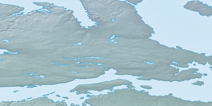
Marker is showing location of Cape Alexander on map(s). You can click on marker if you want to hide it.
 T: 0.0083 s.
2026 © Location.zone | Terms of use | Contact
 150°
150° 192°
192° 166°
166° 108°
108° 101°
101° 242°
242° 164°
164° 217°
217°