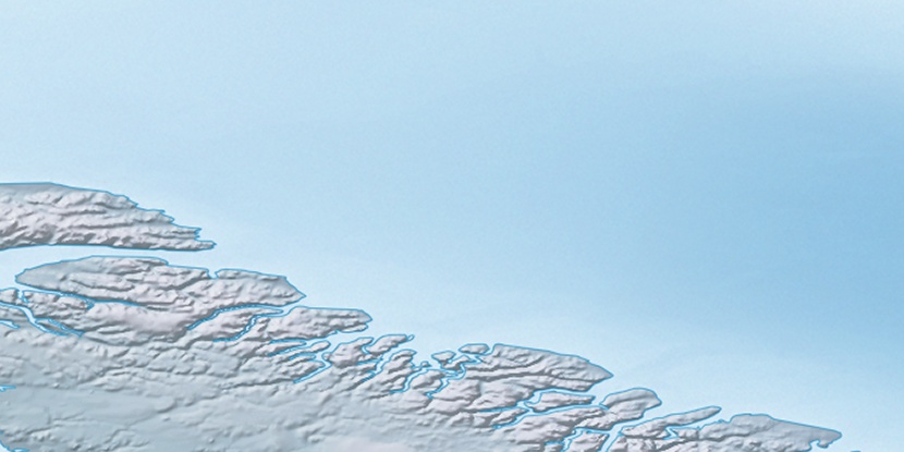
Cape Antrobus, (cape) is located in Nunavut, in Canada (America). It is placed in GMT-4 time zone with current time of 10:17 AM, Saturday. Offset from your time zone: minutes.
| Latitude | 

|
|
| decimal | 72.21799 | |
| DMS | 72° 13' 4.764" N | |
| Distances from | ||
| North pole | 1977.2 km | |
| Equator | 8029.9 km | |
| South pole | 18036.9 km | |
| Longitude | 
|
|
| decimal | -74.69782 | |
| DMS | 74° 41' 52.152" W | |
| Distance from prime meridian: 2374.4 km to West |
||
List of nearest places sort by population
Yellowknife 1961.2 km 237°
237° 210°
210° 164°
164° 234°230°214°
 152°
152° 252°243°
 131°
131°

Marker is showing location of Cape Antrobus on map(s). You can click on marker if you want to hide it.
 T: 0.00839 s.
2026 © Location.zone | Terms of use | Contact
 184°
184° 220°
220° 204°
204° 121°
121° 109°
109°