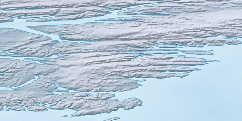
Cape Baker, (cape) is located in Nunavut, in Canada (America). It is placed in GMT-4 time zone with current time of 07:00 AM, Saturday. Offset from your time zone: minutes.
| Latitude | 

|
|
| decimal | 79.26862 | |
| DMS | 79° 16' 7.032" N | |
| Distances from | ||
| North pole | 1193.2 km | |
| Equator | 8813.8 km | |
| South pole | 18820.9 km | |
| Longitude | 
|
|
| decimal | -77.28021 | |
| DMS | 77° 16' 48.756" W | |
| Distance from prime meridian: 1484.8 km to West |
||
List of nearest places sort by population
Yellowknife 2221.4 km 214°
214° 170°
170° 234°
234° 195°165°
 221°204°233°225°165°

Marker is showing location of Cape Baker on map(s). You can click on marker if you want to hide it.
 T: 0.00882 s.
2026 © Location.zone | Terms of use | Contact
 181°
181° 194°
194° 134°
134° 120°
120° 235°
235°