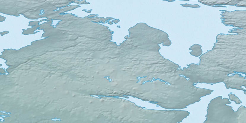
Cape Barclay, (cape) is located in Nunavut, in Canada (America). It is placed in GMT-5 time zone with current time of 11:34 AM, Saturday. Offset from your time zone: minutes.
| Latitude | 

|
|
| decimal | 68.23434 | |
| DMS | 68° 14' 3.624" N | |
| Distances from | ||
| North pole | 2420.1 km | |
| Equator | 7586.9 km | |
| South pole | 17594 km | |
| Longitude | 
|
|
| decimal | -88.14948 | |
| DMS | 88° 8' 58.128" W | |
| Distance from prime meridian: 3324 km to West |
||
List of nearest places sort by population
Yellowknife 1361 km 242°
242° 199°
199° 119°237°
 231°196°
 103°
103° 267°
267° 277°
277° 72°
72°

Marker is showing location of Cape Barclay on map(s). You can click on marker if you want to hide it.
 T: 0.0082 s.
2026 © Location.zone | Terms of use | Contact
 169°
169° 161°
161° 216°
216° 193°
193° 111°
111° 246°
246°