Cape Clarendon, (cape) is located in Canada (America). It is placed in GMT-6 time zone with current time of 09:48 PM, Saturday. Offset from your time zone: minutes.
| Latitude | 

|
|
| decimal | 74.50962 | |
| DMS | 74° 30' 34.632" N | |
| Distances from | ||
| North pole | 1722.4 km | |
| Equator | 8284.7 km | |
| South pole | 18291.8 km | |
| Longitude | 
|
|
| decimal | -111.64032 | |
| DMS | 111° 38' 25.152" W | |
| Distance from prime meridian: 2838.6 km to West |
||
List of nearest places sort by population
Yellowknife 1344.7 km 184°
184° 186°
186° 228°
228° 149°
149° 222°189°
 139°226°
 209°
209° 107°
107°

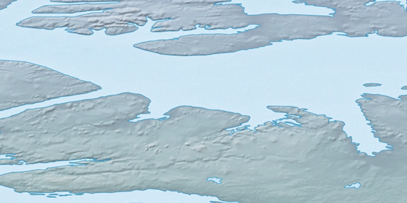
Marker is showing location of Cape Clarendon on map(s). You can click on marker if you want to hide it.
 T: 0.00841 s.
2026 © Location.zone | Terms of use | Contact
 165°
165° 115°
115° 235°
235° 164°
164°