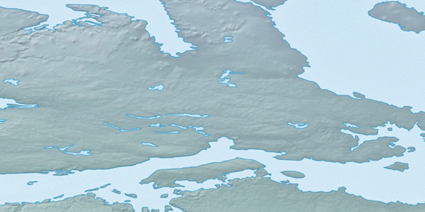
Cape Colborne, (cape) is located in Nunavut, in Canada (America). It is placed in GMT-6 time zone with current time of 03:59 AM, Saturday. Offset from your time zone: minutes.
| Latitude | 

|
|
| decimal | 68.96468 | |
| DMS | 68° 57' 52.848" N | |
| Distances from | ||
| North pole | 2338.9 km | |
| Equator | 7668.2 km | |
| South pole | 17675.2 km | |
| Longitude | 
|
|
| decimal | -105.24113 | |
| DMS | 105° 14' 28.068" W | |
| Distance from prime meridian: 3685.4 km to West |
||
List of nearest places sort by population
Yellowknife 833.8 km 209°206°208°
 266°
266° 197°
197° 139°
139° 252°
252° 95°
95° 262°246°

Marker is showing location of Cape Colborne on map(s). You can click on marker if you want to hide it.
 T: 0.00816 s.
2026 © Location.zone | Terms of use | Contact
 151°
151° 193°
193° 168°
168° 108°
108° 243°
243° 218°
218°