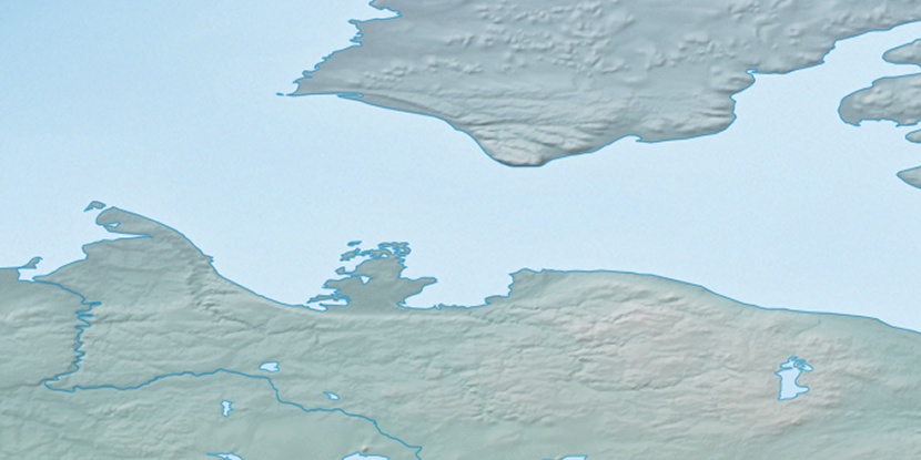
Cape Collinson, (cape) is located in Northwest Territories, in Canada (America). It is placed in GMT-6 time zone with current time of 03:05 AM, Monday. Offset from your time zone: minutes.
| Latitude | 

|
|
| decimal | 71.28543 | |
| DMS | 71° 17' 7.548" N | |
| Distances from | ||
| North pole | 2080.9 km | |
| Equator | 7926.2 km | |
| South pole | 17933.3 km | |
| Longitude | 
|
|
| decimal | -122.08394 | |
| DMS | 122° 5' 2.184" W | |
| Distance from prime meridian: 3625.7 km to West |
||
List of nearest places sort by population
Whitehorse 1307 km 206°
206° 161°
161° 166°
166° 233°
233° 193°
193° 222°
222° 144°
144° 106°229°
 196°
196°

Marker is showing location of Cape Collinson on map(s). You can click on marker if you want to hide it.
 T: 0.00829 s.
2026 © Location.zone | Terms of use | Contact
 151°
151° 181°
181° 102°
102° 236°
236°