Cape Coutts, (cape) is located in Nunavut, in Canada (America). It is placed in GMT-4 time zone with current time of 09:04 AM, Monday. Offset from your time zone: minutes.
| Latitude | 

|
|
| decimal | 72.2513 | |
| DMS | 72° 15' 4.68" N | |
| Distances from | ||
| North pole | 1973.5 km | |
| Equator | 8033.6 km | |
| South pole | 18040.7 km | |
| Longitude | 
|
|
| decimal | -74.91455 | |
| DMS | 74° 54' 52.38" W | |
| Distance from prime meridian: 2375.9 km to West |
||
List of nearest places sort by population
Yellowknife 1954.9 km 236°
236° 210°
210° 164°
164° 234°230°214°
 151°
151° 252°242°
 131°
131°

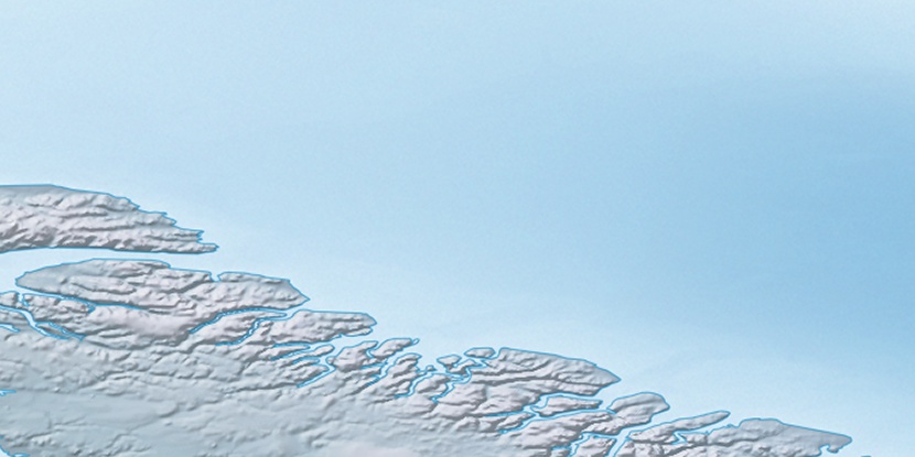
Marker is showing location of Cape Coutts on map(s). You can click on marker if you want to hide it.
 T: 0.00824 s.
2026 © Location.zone | Terms of use | Contact
 184°
184° 219°
219° 204°
204° 121°
121° 109°
109°