Cape Elvira, (cape) is located in Nunavut, in Canada (America). It is placed in GMT-6 time zone with current time of 09:35 PM, Saturday. Offset from your time zone: minutes.
| Latitude | 

|
|
| decimal | 73.28061 | |
| DMS | 73° 16' 50.196" N | |
| Distances from | ||
| North pole | 1859 km | |
| Equator | 8148 km | |
| South pole | 18155.1 km | |
| Longitude | 
|
|
| decimal | -107.0616 | |
| DMS | 107° 3' 41.76" W | |
| Distance from prime meridian: 2974.7 km to West |
||
List of nearest places sort by population
Yellowknife 1239.9 km 194°194°
 240°187°
 152°
152° 205°
205° 142°237°
 220°
220° 103°
103°

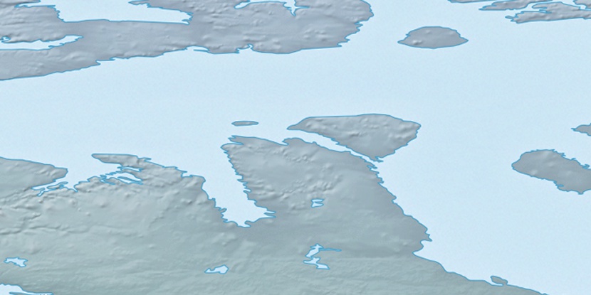
Marker is showing location of Cape Elvira on map(s). You can click on marker if you want to hide it.
 T: 0.00828 s.
2026 © Location.zone | Terms of use | Contact
 155°
155° 169°
169° 196°
196° 114°
114°