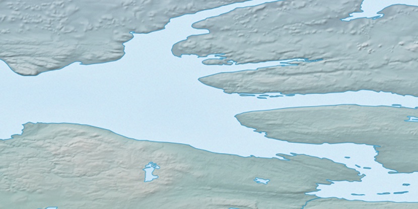
Cape Ernest Kendall, (cape) is located in Nunavut, in Canada (America). It is placed in GMT-6 time zone with current time of 12:58 AM, Monday. Offset from your time zone: minutes.
| Latitude | 

|
|
| decimal | 69.60546 | |
| DMS | 69° 36' 19.656" N | |
| Distances from | ||
| North pole | 2267.7 km | |
| Equator | 7739.4 km | |
| South pole | 17746.5 km | |
| Longitude | 
|
|
| decimal | -116.90311 | |
| DMS | 116° 54' 11.196" W | |
| Distance from prime meridian: 3841.8 km to West |
||
List of nearest places sort by population
Yellowknife 803.2 km 171°
171° 177°
177° 258°167°
 207°
207° 237°
237° 159°
159° 97°
97° 251°
251° 221°
221°

Marker is showing location of Cape Ernest Kendall on map(s). You can click on marker if you want to hide it.
 T: 0.00837 s.
2026 © Location.zone | Terms of use | Contact
 142°
142° 154°
154° 188°
188° 108°
108°