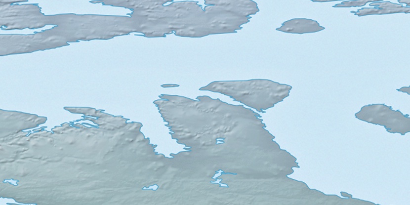
Cape Geelmuyden, (cape) is located in Nunavut, in Canada (America). It is placed in GMT-6 time zone with current time of 08:04 AM, Wednesday. Offset from your time zone: minutes.
| Latitude | 

|
|
| decimal | 71.96661 | |
| DMS | 71° 57' 59.796" N | |
| Distances from | ||
| North pole | 2005.1 km | |
| Equator | 8001.9 km | |
| South pole | 18009 km | |
| Longitude | 
|
|
| decimal | -104.78451 | |
| DMS | 104° 47' 4.236" W | |
| Distance from prime meridian: 3157 km to West |
||
List of nearest places sort by population
Yellowknife 1132.2 km 201°201°
 249°
249° 193°
193° 152°
152° 220°
220° 138°246°
 230°
230° 97°
97°

Marker is showing location of Cape Geelmuyden on map(s). You can click on marker if you want to hide it.
 T: 0.00825 s.
2026 © Location.zone | Terms of use | Contact
 155°
155° 170°
170° 113°
113° 239°
239°