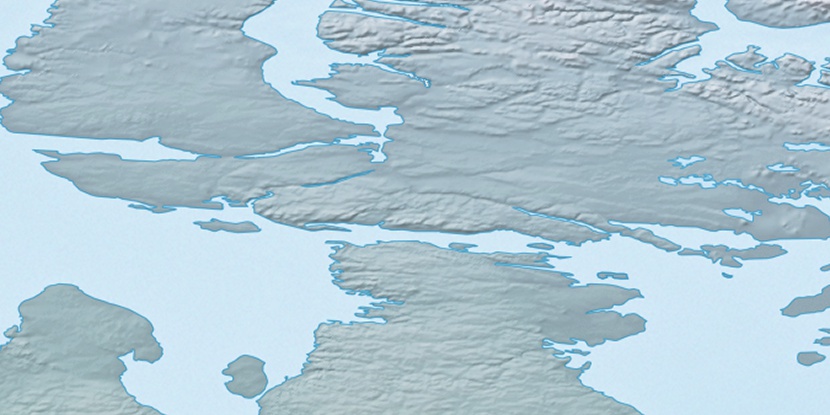
Cape Hallowell, (cape) is located in Nunavut, in Canada (America). It is placed in GMT-5 time zone with current time of 10:19 AM, Monday. Offset from your time zone: minutes.
| Latitude | 

|
|
| decimal | 69.9844 | |
| DMS | 69° 59' 3.84" N | |
| Distances from | ||
| North pole | 2225.5 km | |
| Equator | 7781.5 km | |
| South pole | 17788.6 km | |
| Longitude | 
|
|
| decimal | -85.21618 | |
| DMS | 85° 12' 58.248" W | |
| Distance from prime meridian: 2979.4 km to West |
||
List of nearest places sort by population
Yellowknife 1529.5 km 237°
237° 201°
201° 133°
133° 233°228°200°
 117°
117° 258°
258° 250°
250° 85°
85°

Marker is showing location of Cape Hallowell on map(s). You can click on marker if you want to hide it.
 T: 0.00826 s.
2026 © Location.zone | Terms of use | Contact
 173°
173° 215°
215° 114°
114° 104°
104°