Cape Hay, (cape) is located in Northwest Territories, in Canada (America). It is placed in GMT-6 time zone with current time of 08:35 AM, Saturday. Offset from your time zone: minutes.
| Latitude | 

|
|
| decimal | 74.4101 | |
| DMS | 74° 24' 36.36" N | |
| Distances from | ||
| North pole | 1733.4 km | |
| Equator | 8273.6 km | |
| South pole | 18280.7 km | |
| Longitude | 
|
|
| decimal | -113.06099 | |
| DMS | 113° 3' 39.564" W | |
| Distance from prime meridian: 2880.9 km to West |
||
List of nearest places sort by population
Yellowknife 1330.4 km 182°184°
 227°
227° 147°
147° 221°
221° 185°
185° 136°225°
 207°
207° 106°
106°

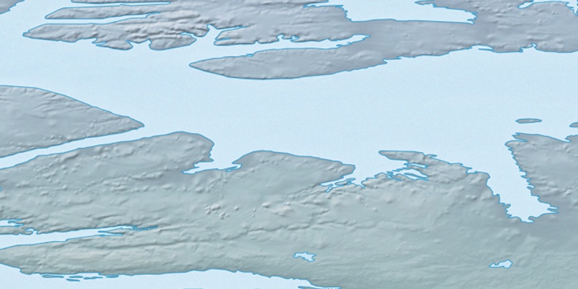
Marker is showing location of Cape Hay on map(s). You can click on marker if you want to hide it.
 T: 0.00836 s.
2026 © Location.zone | Terms of use | Contact
 164°
164° 115°
115°