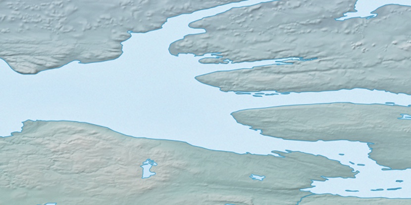
Cape Hope, (cape) is located in Nunavut, in Canada (America). It is placed in GMT-6 time zone with current time of 08:40 AM, Monday. Offset from your time zone: minutes.
| Latitude | 

|
|
| decimal | 69.00078 | |
| DMS | 69° 0' 2.808" N | |
| Distances from | ||
| North pole | 2334.9 km | |
| Equator | 7672.2 km | |
| South pole | 17679.2 km | |
| Longitude | 
|
|
| decimal | -116.2536 | |
| DMS | 116° 15' 12.96" W | |
| Distance from prime meridian: 3940 km to West |
||
List of nearest places sort by population
Yellowknife 732.9 km 173°
173° 178°
178° 264°168°
 210°
210° 241°
241° 160°
160° 92°257°
 227°
227°

Marker is showing location of Cape Hope on map(s). You can click on marker if you want to hide it.
 T: 0.00832 s.
2026 © Location.zone | Terms of use | Contact
 142°
142° 153°
153° 189°
189° 107°
107° 104°
104°