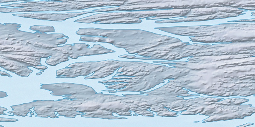
Cape Ingrid, (cape) is located in Nunavut, in Canada (America). It is placed in GMT-4 time zone with current time of 09:55 AM, Monday. Offset from your time zone: minutes.
| Latitude | 

|
|
| decimal | 78.91859 | |
| DMS | 78° 55' 6.924" N | |
| Distances from | ||
| North pole | 1232.1 km | |
| Equator | 8774.9 km | |
| South pole | 18782 km | |
| Longitude | 
|
|
| decimal | -81.74811 | |
| DMS | 81° 44' 53.196" W | |
| Distance from prime meridian: 1606.8 km to West |
||
List of nearest places sort by population
Yellowknife 2123.3 km 211°
211° 165°
165° 233°
233° 191°
191° 160°
160° 219°
219° 200°232°224°158°

Marker is showing location of Cape Ingrid on map(s). You can click on marker if you want to hide it.
 T: 0.00833 s.
2026 © Location.zone | Terms of use | Contact
 178°
178° 131°
131° 119°
119° 235°
235°