Cape Krabbe, (cape) is located in Canada (America). It is placed in GMT-6 time zone with current time of 05:05 AM, Monday. Offset from your time zone: minutes.
| Latitude | 

|
|
| decimal | 77.4952 | |
| DMS | 77° 29' 42.72" N | |
| Distances from | ||
| North pole | 1390.4 km | |
| Equator | 8616.7 km | |
| South pole | 18623.7 km | |
| Longitude | 
|
|
| decimal | -116.02936 | |
| DMS | 116° 1' 45.696" W | |
| Distance from prime meridian: 2353.3 km to West |
||
List of nearest places sort by population
Yellowknife 1673.4 km 177°
177° 209°
209° 152°
152° 126°208°178°147°208°
 195°
195° 118°
118°

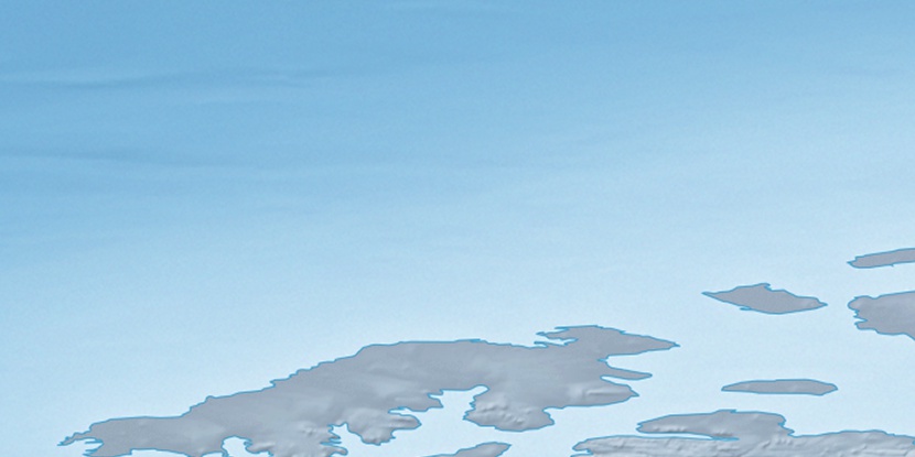
Marker is showing location of Cape Krabbe on map(s). You can click on marker if you want to hide it.
 T: 0.00832 s.
2026 © Location.zone | Terms of use | Contact
 155°
155° 185°
185° 111°
111° 229°
229°