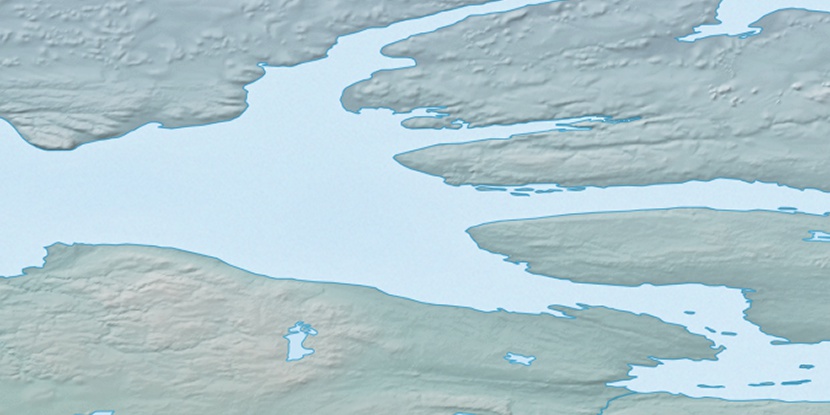
Cape Larsen, (cape) is located in Northwest Territories, in Canada (America). It is placed in GMT-6 time zone with current time of 01:23 PM, Saturday. Offset from your time zone: minutes.
| Latitude | 

|
|
| decimal | 69.79119 | |
| DMS | 69° 47' 28.284" N | |
| Distances from | ||
| North pole | 2247 km | |
| Equator | 7760.1 km | |
| South pole | 17767.1 km | |
| Longitude | 
|
|
| decimal | -117.25845 | |
| DMS | 117° 15' 30.42" W | |
| Distance from prime meridian: 3814.7 km to West |
||
List of nearest places sort by population
Yellowknife 825.9 km 171°
171° 176°
176° 256°167°
 206°
206° 236°
236° 158°
158° 98°
98° 249°
249° 218°
218°

Marker is showing location of Cape Larsen on map(s). You can click on marker if you want to hide it.
 T: 0.00827 s.
2026 © Location.zone | Terms of use | Contact
 142°
142° 153°
153° 187°
187° 108°
108°