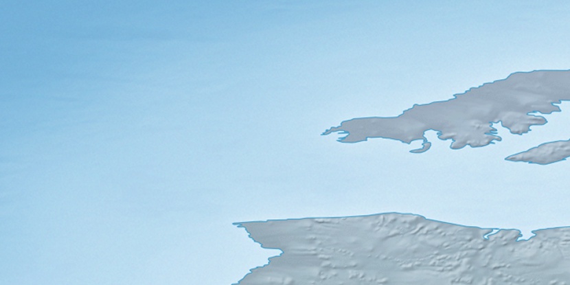
Cape Manning, (cape) is located in Northwest Territories, in Canada (America). It is placed in GMT-6 time zone with current time of 04:02 AM, Saturday. Offset from your time zone: minutes.
| Latitude | 

|
|
| decimal | 75.86455 | |
| DMS | 75° 51' 52.38" N | |
| Distances from | ||
| North pole | 1571.7 km | |
| Equator | 8435.3 km | |
| South pole | 18442.4 km | |
| Longitude | 
|
|
| decimal | -122.32418 | |
| DMS | 122° 19' 27.048" W | |
| Distance from prime meridian: 2747 km to West |
||
List of nearest places sort by population
Yellowknife 1520.6 km 168°171°
 204°
204° 141°
141° 205°
205° 164°
164° 132°204°
 187°
187° 109°
109°

Marker is showing location of Cape Manning on map(s). You can click on marker if you want to hide it.
 T: 0.00828 s.
2026 © Location.zone | Terms of use | Contact
 148°
148° 180°
180° 115°
115° 230°
230°