Cape Nygaard, (cape) is located in Nunavut, in Canada (America). It is placed in GMT-6 time zone with current time of 03:48 AM, Monday. Offset from your time zone: minutes.
| Latitude | 

|
|
| decimal | 70.92483 | |
| DMS | 70° 55' 29.388" N | |
| Distances from | ||
| North pole | 2121 km | |
| Equator | 7886.1 km | |
| South pole | 17893.2 km | |
| Longitude | 
|
|
| decimal | -104.06593 | |
| DMS | 104° 3' 57.348" W | |
| Distance from prime meridian: 3320.2 km to West |
||
List of nearest places sort by population
Yellowknife 1042 km 205°205°
 255°
255° 196°
196° 150°
150° 231°
231° 129°
129° 252°
252° 236°
236° 92°
92°

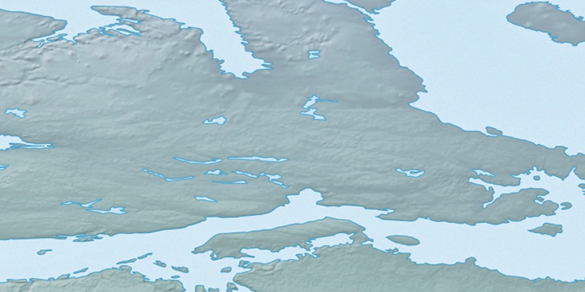
Marker is showing location of Cape Nygaard on map(s). You can click on marker if you want to hide it.
 T: 0.00834 s.
2026 © Location.zone | Terms of use | Contact
 155°
155° 193°
193° 171°
171° 111°
111° 103°
103° 217°
217°