Cape Sadlek, (cape) is located in Nunavut, in Canada (America). It is placed in GMT-4 time zone with current time of 07:08 AM, Monday. Offset from your time zone: minutes.
| Latitude | 

|
|
| decimal | 69.38435 | |
| DMS | 69° 23' 3.66" N | |
| Distances from | ||
| North pole | 2292.2 km | |
| Equator | 7714.8 km | |
| South pole | 17721.9 km | |
| Longitude | 
|
|
| decimal | -78.29816 | |
| DMS | 78° 17' 53.376" W | |
| Distance from prime meridian: 2856.2 km to West |
||
List of nearest places sort by population
Yellowknife 1774.2 km 244°
244° 212°
212° 145°241°236°
 220°
220° 124°
124° 263°263°
 71°
71°

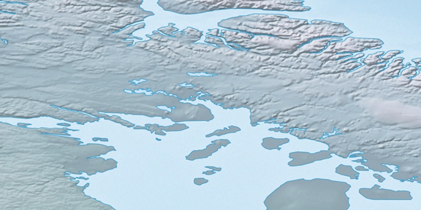
Marker is showing location of Cape Sadlek on map(s). You can click on marker if you want to hide it.
 T: 0.00818 s.
2026 © Location.zone | Terms of use | Contact
 181°
181° 174°
174° 225°
225° 111°
111° 104°
104° 247°
247°