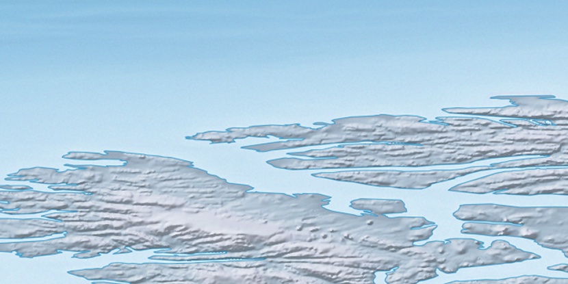
Cape St. Andrew, (cape) is located in Nunavut, in Canada (America). It is placed in GMT-5 time zone with current time of 06:01 AM, Sunday. Offset from your time zone: minutes.
| Latitude | 

|
|
| decimal | 80.9188 | |
| DMS | 80° 55' 7.68" N | |
| Distances from | ||
| North pole | 1009.7 km | |
| Equator | 8997.3 km | |
| South pole | 19004.4 km | |
| Longitude | 
|
|
| decimal | -89.41704 | |
| DMS | 89° 25' 1.344" W | |
| Distance from prime meridian: 1417.7 km to West |
||
List of nearest places sort by population
Yellowknife 2186 km 201°
201° 161°
161° 221°
221° 182°157°
 206°
206° 187°220°212°
 154°
154°

Marker is showing location of Cape St. Andrew on map(s). You can click on marker if you want to hide it.
 T: 0.00834 s.
2026 © Location.zone | Terms of use | Contact
 174°
174° 133°
133° 121°
121° 230°
230°