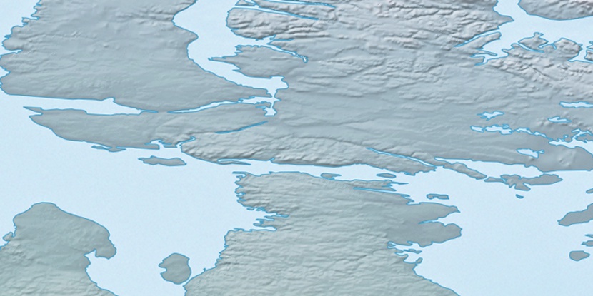
Cape Tordenskjold, (cape) is located in Nunavut, in Canada (America). It is placed in GMT-4 time zone with current time of 04:42 AM, Wednesday. Offset from your time zone: minutes.
| Latitude | 

|
|
| decimal | 69.98441 | |
| DMS | 69° 59' 3.876" N | |
| Distances from | ||
| North pole | 2225.5 km | |
| Equator | 7781.5 km | |
| South pole | 17788.6 km | |
| Longitude | 
|
|
| decimal | -83.33252 | |
| DMS | 83° 19' 57.072" W | |
| Distance from prime meridian: 2924.8 km to West |
||
List of nearest places sort by population
Yellowknife 1597.9 km 238°
238° 204°
204° 137°235°
 230°
230° 205°
205° 120°
120° 259°
259° 252°
252° 84°
84°

Marker is showing location of Cape Tordenskjold on map(s). You can click on marker if you want to hide it.
 T: 0.00825 s.
2026 © Location.zone | Terms of use | Contact
 175°
175° 168°
168° 217°
217° 111°
111° 104°
104°