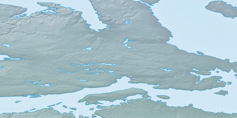
Cape Wiel, (cape) is located in Nunavut, in Canada (America). It is placed in GMT-6 time zone with current time of 10:27 AM, Monday. Offset from your time zone: minutes.
| Latitude | 

|
|
| decimal | 71.29892 | |
| DMS | 71° 17' 56.112" N | |
| Distances from | ||
| North pole | 2079.4 km | |
| Equator | 7927.7 km | |
| South pole | 17934.8 km | |
| Longitude | 
|
|
| decimal | -104.46522 | |
| DMS | 104° 27' 54.792" W | |
| Distance from prime meridian: 3265 km to West |
||
List of nearest places sort by population
Yellowknife 1071.2 km 203°203°
 253°
253° 194°
194° 150°
150° 226°
226° 132°250°233°
 94°
94°

Marker is showing location of Cape Wiel on map(s). You can click on marker if you want to hide it.
 T: 0.00828 s.
2026 © Location.zone | Terms of use | Contact
 155°
155° 170°
170° 112°
112° 104°
104° 240°
240° 216°
216°