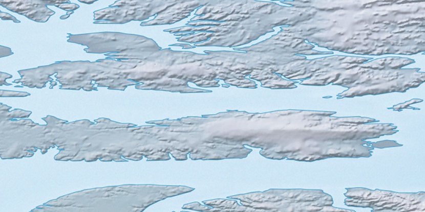
South Cape, (cape) is located in Nunavut, in Canada (America). It is placed in GMT-4 time zone with current time of 03:57 PM, Saturday. Offset from your time zone: minutes.
| Latitude | 

|
|
| decimal | 76.30168 | |
| DMS | 76° 18' 6.048" N | |
| Distances from | ||
| North pole | 1523.1 km | |
| Equator | 8484 km | |
| South pole | 18491 km | |
| Longitude | 
|
|
| decimal | -84.44923 | |
| DMS | 84° 26' 57.228" W | |
| Distance from prime meridian: 2036.4 km to West |
||
List of nearest places sort by population
Yellowknife 1889.5 km 216°
216° 157°
157° 241°
241° 190°
190° 149°
149° 227°
227° 203°240°230°
 142°
142°

Marker is showing location of South Cape on map(s). You can click on marker if you want to hide it.
 T: 0.00836 s.
2026 © Location.zone | Terms of use | Contact
 176°
176° 171°
171° 205°
205° 125°
125° 121°
121° 113°
113°