Falaise Innaarulialuk, (cliff(s)) is located in Quebec, in Canada (America). It is placed in GMT-4 time zone with current time of 03:37 AM, Thursday. Offset from your time zone: minutes.
| Latitude | 

|
|
| decimal | 58.81713 | |
| DMS | 58° 49' 1.668" N | |
| Distances from | ||
| North pole | 3467.2 km | |
| Equator | 6539.9 km | |
| South pole | 16546.9 km | |
| Longitude | 
|
|
| decimal | -75.11588 | |
| DMS | 75° 6' 57.168" W | |
| Distance from prime meridian: 4091.3 km to West |
||
List of nearest places sort by population
Sept-Îles 1109.7 km 149°
149° 141°
141° 123°
123° 177°
177° 32°143°
 189°179°183°30°

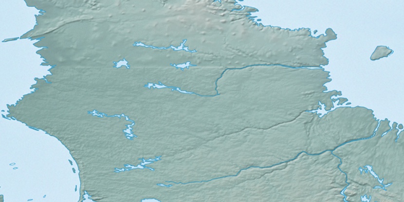
Marker is showing location of Falaise Innaarulialuk on map(s). You can click on marker if you want to hide it.
 T: 0.00575 s.
2026 © Location.zone | Terms of use | Contact
 250°
250° 256°
256° 235°
235° 99°
99° 92°
92° 230°
230°