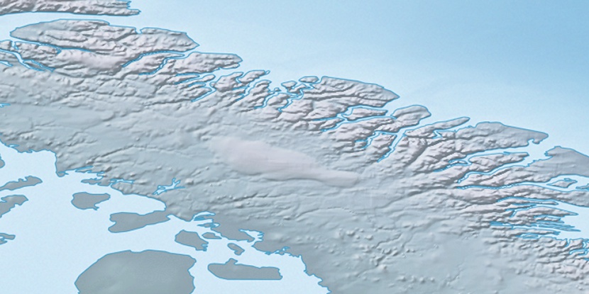
Gibbs Fiord, (fjord) is located in Nunavut, in Canada (America). It is placed in GMT-4 time zone with current time of 01:37 PM, Sunday. Offset from your time zone: minutes.
| Latitude | 

|
|
| decimal | 70.82188 | |
| DMS | 70° 49' 18.768" N | |
| Distances from | ||
| North pole | 2132.4 km | |
| Equator | 7874.7 km | |
| South pole | 17881.7 km | |
| Longitude | 
|
|
| decimal | -71.91147 | |
| DMS | 71° 54' 41.292" W | |
| Distance from prime meridian: 2473.1 km to West |
||
List of nearest places sort by population
Yellowknife 2033 km 243°
243° 216°
216° 172°169°236°224°
 154°
154° 258°255°
 107°
107°

Marker is showing location of Gibbs Fiord on map(s). You can click on marker if you want to hide it.
 T: 0.00484 s.
2026 © Location.zone | Terms of use | Contact
 188°
188° 181°
181° 227°
227° 209°
209° 120°
120° 246°
246°