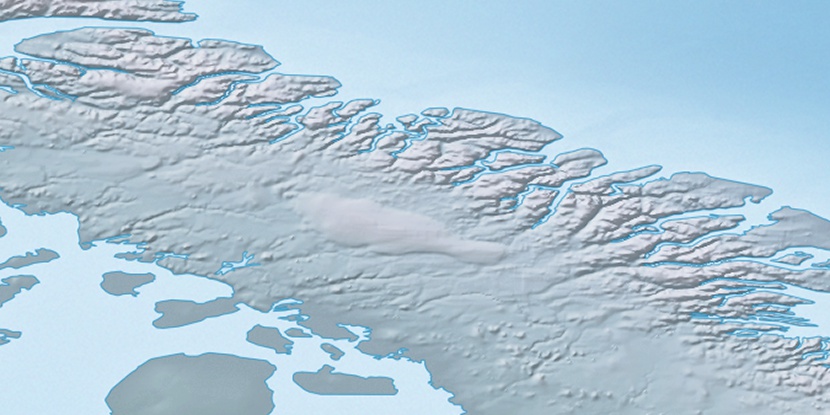
Barnes Ice Cap, (glacier(s)) is located in Nunavut, in Canada (America). It is placed in GMT-4 time zone with current time of 03:01 PM, Saturday. Offset from your time zone: minutes.
| Latitude | 

|
|
| decimal | 70.00098 | |
| DMS | 70° 0' 3.528" N | |
| Distances from | ||
| North pole | 2223.7 km | |
| Equator | 7783.4 km | |
| South pole | 17790.4 km | |
| Longitude | 
|
|
| decimal | -73.4978 | |
| DMS | 73° 29' 52.08" W | |
| Distance from prime meridian: 2625.7 km to West |
||
List of nearest places sort by population
Yellowknife 1965.8 km 245°
245° 217°
217° 169°
169° 162°
162° 238°
238° 225°
225° 143°
143° 261°260°
 74°
74°

Marker is showing location of Barnes Ice Cap on map(s). You can click on marker if you want to hide it.
 T: 0.00738 s.
2026 © Location.zone | Terms of use | Contact
 186°
186° 180°
180° 209°
209° 118°
118° 113°
113°