El Capitan Hill, (hill) is located in Northwest Territories, in Canada (America). It is placed in GMT-6 time zone with current time of 11:26 PM, Sunday. Offset from your time zone: minutes.
| Latitude | 

|
|
| decimal | 64.95053 | |
| DMS | 64° 57' 1.908" N | |
| Distances from | ||
| North pole | 2785.2 km | |
| Equator | 7221.8 km | |
| South pole | 17228.9 km | |
| Longitude | 
|
|
| decimal | -115.30282 | |
| DMS | 115° 18' 10.152" W | |
| Distance from prime meridian: 4660.7 km to West |
||
List of nearest places sort by population
Fort McMurray 938.3 km 166°170°
 209°
209° 187°
187° 183°
183° 162°
162° 231°187°
 1°
1° 273°
273°

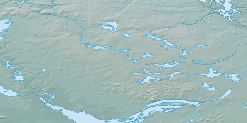
Marker is showing location of El Capitan Hill on map(s). You can click on marker if you want to hide it.
 T: 0.01314 s.
2026 © Location.zone | Terms of use | Contact
 136°
136° 129°
129° 147°
147° 102°
102° 245°
245° 217°
217°