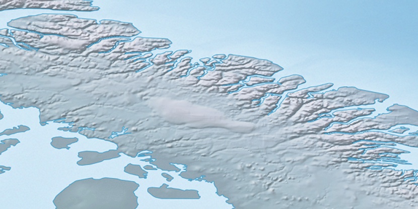
Waterdown Hill, (hill) is located in Nunavut, in Canada (America). It is placed in GMT-4 time zone with current time of 05:44 AM, Saturday. Offset from your time zone: minutes.
| Latitude | 

|
|
| decimal | 70.71787 | |
| DMS | 70° 43' 4.332" N | |
| Distances from | ||
| North pole | 2144 km | |
| Equator | 7863.1 km | |
| South pole | 17870.2 km | |
| Longitude | 
|
|
| decimal | -74.76457 | |
| DMS | 74° 45' 52.452" W | |
| Distance from prime meridian: 2571.9 km to West |
||
List of nearest places sort by population
Yellowknife 1927.9 km 242°
242° 214°
214° 161°239°
 234°
234° 220°
220° 144°
144° 258°
258° 254°
254° 96°
96°

Marker is showing location of Waterdown Hill on map(s). You can click on marker if you want to hide it.
 T: 0.0135 s.
2026 © Location.zone | Terms of use | Contact
 185°
185° 178°
178° 118°
118° 114°
114°