Manimaniit Hills, (hills) is located in Nunavut, in Canada (America). It is placed in GMT-5 time zone with current time of 07:00 PM, Wednesday. Offset from your time zone: minutes.
| Latitude | 

|
|
| decimal | 64.09379 | |
| DMS | 64° 5' 37.644" N | |
| Distances from | ||
| North pole | 2880.5 km | |
| Equator | 7126.6 km | |
| South pole | 17133.6 km | |
| Longitude | 
|
|
| decimal | -94.917 | |
| DMS | 94° 55' 1.2" W | |
| Distance from prime meridian: 4175.8 km to West |
||
List of nearest places sort by population
Fort McMurray 1213.4 km 227°
227° 259°
259° 189°
189° 200°
200° 251°
251° 210°
210° 242°
242° 135°
135° 294°
294° 355°
355°

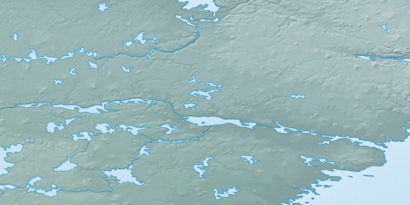
Marker is showing location of Manimaniit Hills on map(s). You can click on marker if you want to hide it.
 T: 0.00546 s.
2026 © Location.zone | Terms of use | Contact
 156°
156° 147°
147° 217°
217° 184°
184° 104°
104° 168°
168°